Tuesday, July 30, 2013
Heading north up the Viking trail Tuesday morning, we were on a
mission to dump tanks and find some decent water. We stopped at the
last campground in the park and found a dump station. Good. Now we
needed water. Another boil water order! We skipped it and moved on.
.jpg) |
| The glacial valley of Western Brook extending east into the Long Range Mountains |
.jpg) |
| Fishing Stage in one of the small villages |
North of Gros Morne we came upon Arches Provincial Park. It was a
short walk down some stairs to the beach to view the stone arches
that had been eroded by the sea. Eventually the caves will erode away
and collapse leaving sea stacks, or pillars in the surf.
.jpg) |
| Arches - this limestone resisted the glaciers but not the waves and tides |
.jpg)
.jpg)
.jpg)
.jpg)
.jpg)
Driving north on the west coast, we passed through small fishing
villages and passed by large beautiful mountains from the Long
Mountain range. Our goal was to make it to the St. Anthony area, as
far north as you can go on Newfoundland. Reaching near to the
northernmost point that the road goes on the coast, it veers east
into bogs and barrens. There were caribou signs, but we didn't see
any, nor the moose that are supposed to be more numerous in the
northern peninsula. Eventually we came to hills and woods and reached
St. Anthony. It was much larger than we expected. We wanted to fill
up with some diesel before going back out of town to find the Triple
Falls Campground. The main road took us along the harbor, out to a
headland. We stopped and turned around before we got to the end
because we couldn't tell how big the parking lot was there. Just as
we turned I saw an iceberg in the distance. Greg was already
committed to the road back into downtown, so we thought we might find
it again the next day.
.jpg) |
| Fishing rules posted at every bridge |
 |
| Following the Long Range north |
 |
| Nearing the end of the Long Range (a remnant of the ancient Appalachians) |
 |
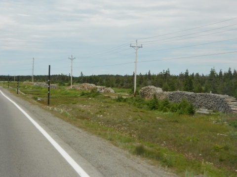
| Firewood drying along the road |
 |
| Labrador in the distance |
 |
| Typical roadside cemetery |
 |
| The locals use the highway right-of-way for gardens, where the soils are good |
 |
| Stakes to show edge of roadway in the Caribou barrens during the snow and wind |
 |
| Following a logging truck on its way to the mill in St. Anthony |
We found the campground 7 km out of town along a salmon river with
falls. They only had a few spots left. Most of the sites were
seasonal, and they seem to cater to caravans, organized groups of
RV's traveling together. One large camping are was full of a caravan
of airstream trailers. She said we could stay one night, but after
that they were going to be full. We pulled in next to the washroom so
that we could get wifi without going in the building. Not very
scenic, but fine for one night. We had electric and water hookups.
Good, clean well water for a change! We used the wifi to do some
planning for the next few days. We knew we were interested in a whale
and iceberg boat trip, and a visit to Burnt Cape Ecological Reserve,
and L'Anse aux Meadows, the Viking site. Without the internet we only
had a little written information to make choices, and find out times
and prices. We also needed to check the weather to plan these things
based around that. Of, course, we are finding that the weather
forecasts are totally unreliable. They should call them weather
suggestions!
.jpg) |
| Part of greater metropolitan St. Anthony |
.jpg)
.jpg)
.jpg)
.jpg)
.jpg)
.jpg)
.jpg)
.jpg)
.jpg)
.jpg)


.jpg)
No comments:
Post a Comment
Your comments encourage me to keep posting!